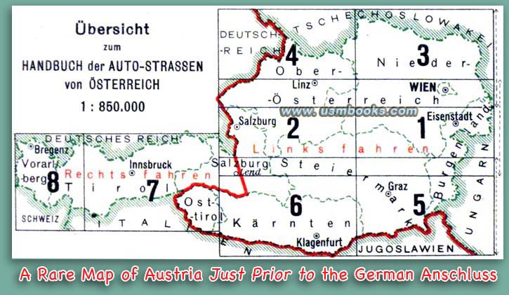
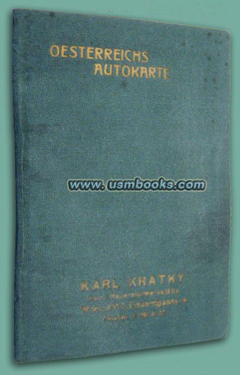
This is an interesting, sturdy green leatherette pocket size map book of the country of Austria, published after 1933 but some time before the Anschluß, the Austrian reunification with Nazi Germany in the spring of 1938.
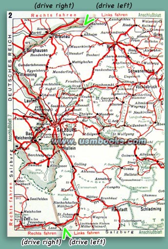
Before the Anschluß people drove on the left side of the road in much of eastern Austria, as well as in Hungary and Czechoslovakia. Believe it or not, in western Austria people drove on the right hand side of the road! For example, drivers headed west in the left lane had to switch over to the right lane just west of Salzburg and Braunau!
Before the Anschluß people drove on the left side of the road in much of eastern Austria, as well as in Hungary and Czechoslovakia. Believe it or not, in western Austria people drove on the right hand side of the road! For example, drivers headed west in the left lane had to switch over to the right lane just west of Salzburg and Braunau!
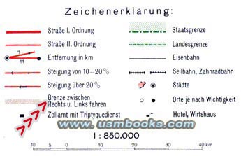 |
on the explanation of symbols on the maps in this unusual, historical pocket map book! |
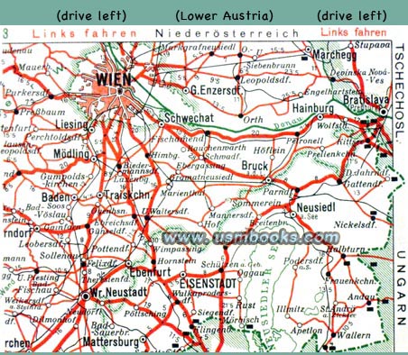
In the Deutsches Reich (Hitler’s Nazi Germany) as well as in Italy, Switzerland and Yugoslavia driving on the right was the law of the land. This important information is marked in red on the edges of every page of this fine approximately 90 year old example of the Oesterreichs Autokarte.
The 4-1/4 x 6-1/8 inch Handbuch der Auto-Strassen von Österreich has 16 pages with color maps of Austria. The maps are marked with cities, highways, distances, railways, national and provincial borders, as well as the unusual Austrian demarkation where traffic was required to change between Rechts und Links Fahren, driving on the right or left side of the road.
Adolf Hitler made it mandatory for all traffic in Austria to drive on the right after the 1938 reunification of Germany and Austria. Czechoslovakia was next in 1939, and in 1944 Hungary also changed to driving on the right side of the road.
Adolf Hitler made it mandatory for all traffic in Austria to drive on the right after the 1938 reunification of Germany and Austria. Czechoslovakia was next in 1939, and in 1944 Hungary also changed to driving on the right side of the road.
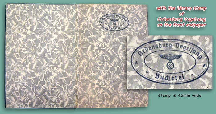
The name of a car repair business called Karl Kraty in Vienna is embossed in gold on the front cover. It is interesting to note that the front flyleaf has the oval Nazi eagle and swastika stamp of the library of Ordensburg Vogelsang on it.
A very rare and unusual undated pocket map book in very good condition, printed between 1933 and 1938. No odor.
A very rare and unusual undated pocket map book in very good condition, printed between 1933 and 1938. No odor.
Have a look at other original Third Reich maps for sale on USMBOOKS.com. We are happy to combine shipping of multiple purchases!
is for sale for $75.00 delivered by Media Mail in the USA. USM book #1388 |
| • IF you prefer faster and safer Priority Mail shipping with USPS Tracking add $8.95. |
| • IF you wish to purchase highly recommended, but optional insurance, add $3.50. |
| • We will be happy to ship abroad at additional cost, however foreign customers are responsible for any VAT payments, import duties and clearing fees. Please inquire. |
UNUSUAL AND INTERESTING 1930s FLEX-COVER POCKET
|
OESTERREICHS AUTOKARTE
ROAD MAP OF AUSTRIA FOR MOTORISTS PRINTED BETWEEN 1933 AND 1938

