|
|
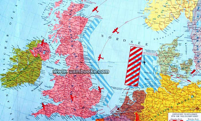
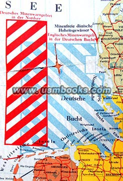
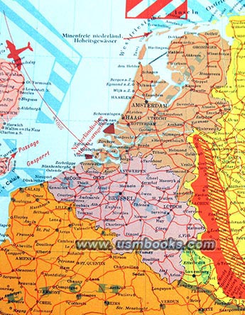
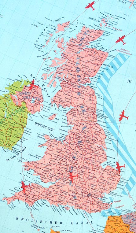
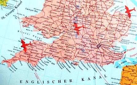
This is a rare and very interesting Nazi color map published with the approval of the Oberkommando der Kriegsmarine in 1940. The 18 x 24-½ inch one-sided color “War Map of the North Sea” shows the British Isles, Holland, Belgium, northwestern France, part of Nazi Germany, Denmark and parts of Sweden and Norway. German and English mine fields are clearly marked and the map also shows the Westwall (Siegfried Line), the French Maginot Line and Air Protection Zone.
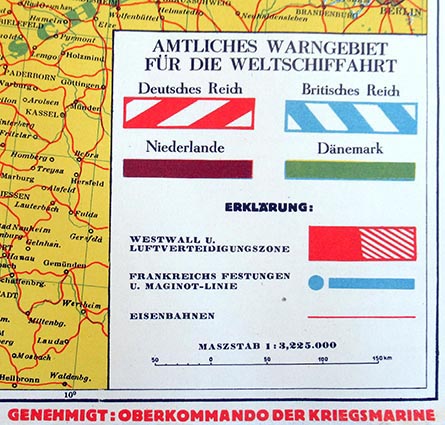
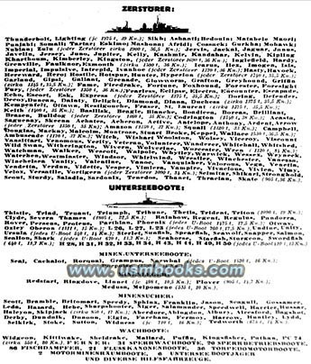
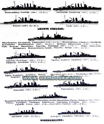
A black & white 4-inch wide panel on the lefthand side of the map has pictures and information about the British naval fleet, number of submarines, cruisers, destroyers, minesweepers, etc.
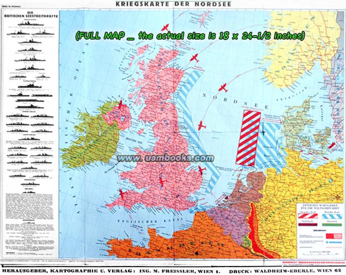

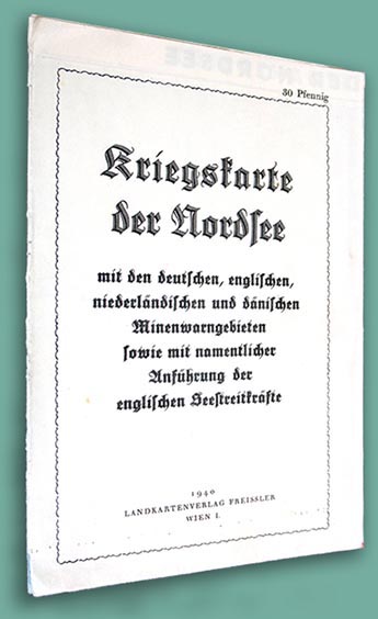
The scale is 1:3,225.000 (150 mm = 50 km) and this Nazi Kriegskarte was printed by Waldheim-Eberle in Vienna, the company that also produced many editions of Adolf Hitler’s Mein Kampf.
Have a look at other original military & civilian Third Reich maps
for sale on USMBOOKS.com. We are happy to
combine shipping of multiple purchases!
| • IF you prefer faster and safer Priority Mail shipping with USPS Tracking add $8.95. |
| • IF you wish to purchase highly recommended, but optional insurance, add $3.50. |
| • We will be happy to ship abroad at additional cost, however foreign customers are responsible for any VAT payments, import duties & customs clearing fees. Please inquire. |
ORIGINAL 1940 NAZI NORTH SEA WAR MAP
SHOWING BRITISH AND GERMAN MINE FIELDS
KRIEGSKARTE DER NORDSEE VERY INTERESTING NAZI WAR MAP FROM 1940, APPROVED BY THE KRIEGSMARINE