The images and text used on this and all other USM web pages are the copyrighted property
of USM Inc. Those images and the text may be used by others ONLY AFTER completion
of a formal international licensing agreement and payment of a licensing fee!
of USM Inc. Those images and the text may be used by others ONLY AFTER completion
of a formal international licensing agreement and payment of a licensing fee!
THIRD REICH GERMAN ESSO WEGWEISER MAP 11
1939 NAZI ESSO WEGWEISER
ROAD MAP NUMBER 11 BOHEMIA
|
|
This USMBOOKS web page is Copyright © 2015 by USM, Inc., and the text and images on it are fully protected by international copyright law. It is therefore, illegal for anyone to take any of the material found here and use it for their own purposes without our written permission, irrespective of any excuse they may feel they have for doing so.

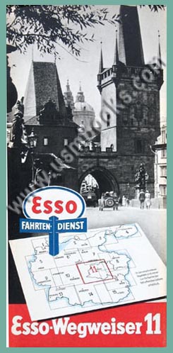
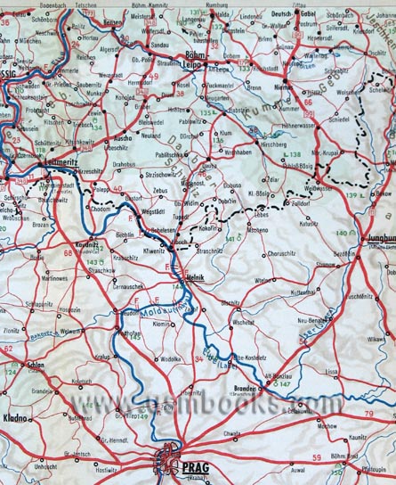
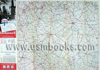
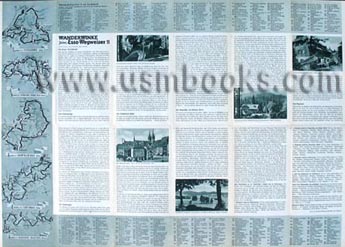
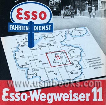
This is an original unused Esso Wegweiser road map of area 11 in Germany in 1939 which includes that part of the country from northwest of Zwickau to south of Regensburg and east beyond Iglau or Jihlava in what is now the Czech Republic.
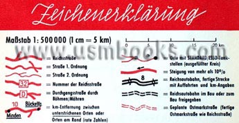
The multi-color 19 x 26 inch Nazi map is at a scale of 1:500,000 (1 cm = 5 km) and show all of the normal roads, Reichsautobahn freeways, cities and towns and notable sights, as well as all the Standard Oil gas stations to be found en route.
The multi-color 19 x 26 inch Nazi map is at a scale of 1:500,000 (1 cm = 5 km) and show all of the normal roads, Reichsautobahn freeways, cities and towns and notable sights, as well as all the Standard Oil gas stations to be found en route.
The back side of the map contains tourist information for the Fichtelgebirge, the Bayerischer- and Böhmerwald, the Oberfälzerwald, the Sudetengau, and the Mühlviertel / Waldviertel areas.
We can't find a date on the map but because of the inclusions in Nazi Germany the map must date from 1938 or later but prior to May of 1945, probably 1939. The corporate name of Esso and Standard Oil on the map is Deutsch-Amerikanische Petroleum-Gesellschaft (German-American Oil Company), the proper name for Standard Oil's German subsidiary.


