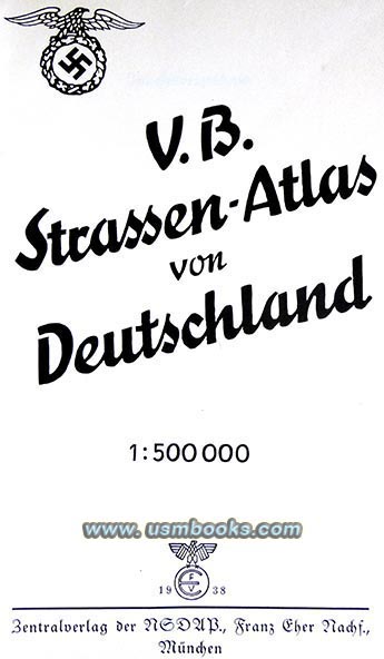
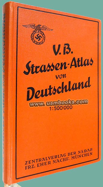
We think that the best street and highway atlas published for motorists in Nazi Germany during the Third Reich was the one published by the Nazi printing house Franz Eher Nachfolger in cooperation with the National German Tourist Association and NSKK.
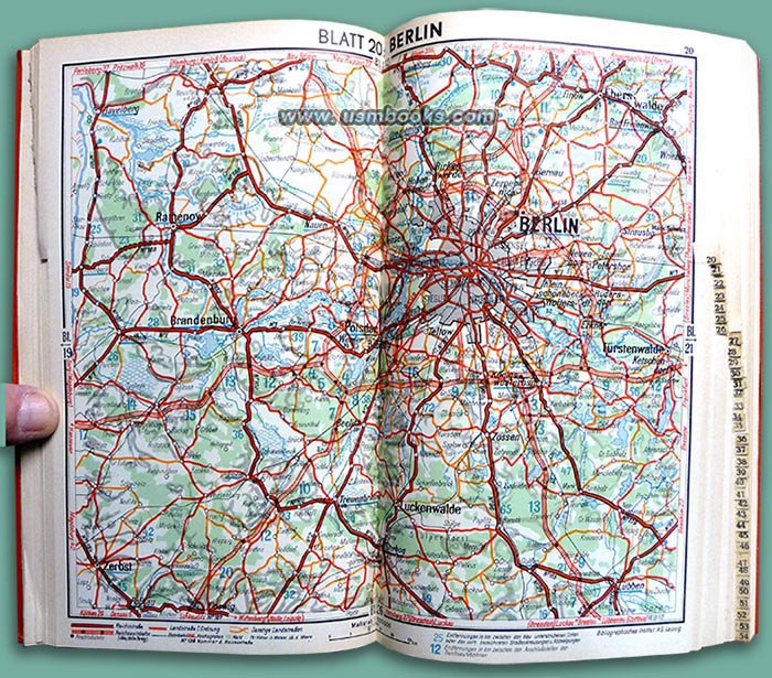
On this USMBOOKS web page we are offering a beautiful example of the fifth 1938 edition (of 20,000) of this 6-1/2 x 10-1/2 inch sturdy flexible cover atlas of Hitler’s enlarged Germany. It includes Austria and large parts of Sudetenland and Switzerland are part of this edition as well. The approximately 400 pages are loaded with excellent two-page color maps at a scale of 1:500.000.
On this USMBOOKS web page we are offering a beautiful example of the fifth 1938 edition (of 20,000) of this 6-1/2 x 10-1/2 inch sturdy flexible cover atlas of Hitler’s enlarged Germany. It includes Austria and large parts of Sudetenland and Switzerland are part of this edition as well. The approximately 400 pages are loaded with excellent two-page color maps at a scale of 1:500.000.
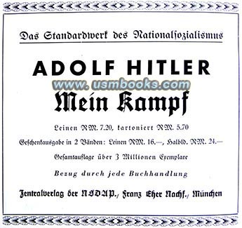
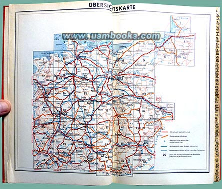
The Völkischer Beobachter Strassen-Atlas of Germany gives license plate information for all German states and governmental subdivisions including the SS, provides a 4-page list of addresses for the NSKK and information about motor sports and traffic laws. There is a large overview map of Germany divided into 50+ sections and those sections are referenced to tabs indented into the edge of the pages.
Each of the double-page spread maps in the book measures about 10-1/4 x 12-1/2 inches and is at a large enough scale where the hamlet of Obersalzberg and the town of Berchtesgaden are about 1/4 inch apart. In real life that distance is about 4 km (about 2.5 miles). That makes these maps supremely useful in finding anything anywhere in Third Reich Germany.
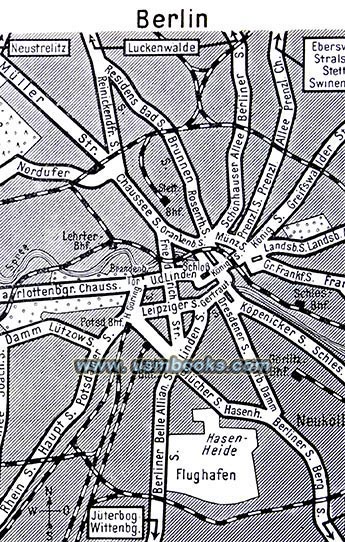
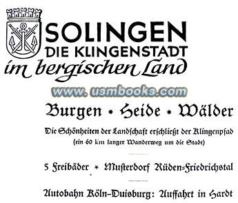
There is advertising and an index to cities of over ten thousand population in the back of this VB Strassen-Atlas.
An interesting aspect of the city maps is the fact that nearly all German towns and cities had an Adolf Hitler Square or Adolf Hitler Street and they are perfectly obvious and easy to find on the maps in this atlas.
An interesting aspect of the city maps is the fact that nearly all German towns and cities had an Adolf Hitler Square or Adolf Hitler Street and they are perfectly obvious and easy to find on the maps in this atlas.
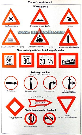
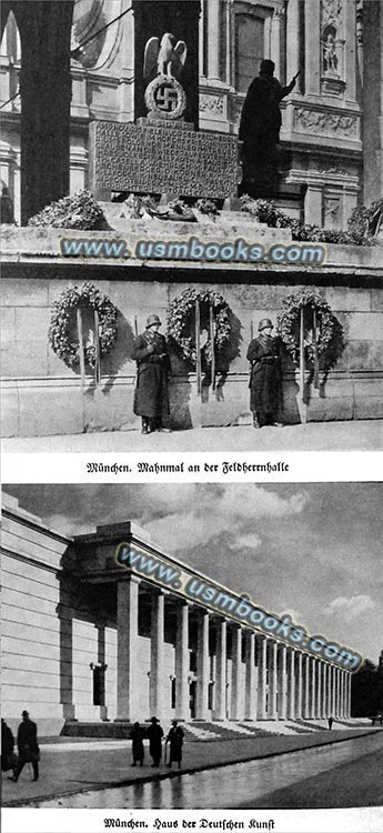
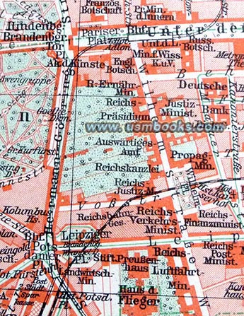 |
quarter in Reichshauptstadt Berlin. |
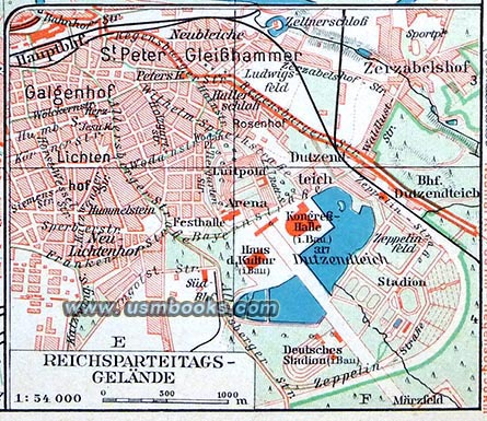
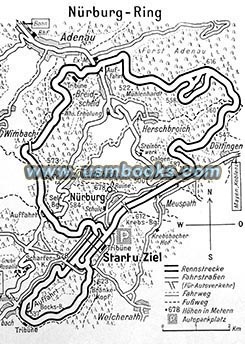

If you are only going to have one bound atlas of pre-World War II Nazi Germany, or if you want the very best, the 1938 Völkischer Beobachter Strassen-Atlas von Deutschland is the one we suggest you buy.
This 2-1/4 pound example did not bounce around in the glovebox of a car, and as a result it is in fine little-used condition with its original Third Reich ribbon page markers. It has a tight spine and no odor. This book is very hard to find in this condition 84 years after it was published.
Of course, the Reichsautobahn is shown on all the maps as well as important features of the landscape. In neighboring lands the German names are shown in large type, while the former or local names are shown in smaller type.
Between the maps there is comprehensive tourist information about the areas depicted on adjacent maps. The back third of the book is composed of larger scale city maps interspersed with pages of hotel and car service information.
Between the maps there is comprehensive tourist information about the areas depicted on adjacent maps. The back third of the book is composed of larger scale city maps interspersed with pages of hotel and car service information.
Have a look at the large selection of Third Reich maps for sale on USMBOOKS.com. We are happy to combine shipping of multiple purchases!
** SOLD ** USM book #1261 |
| • IF you prefer faster and safer Priority Mail shipping with USPS Tracking add $11.95. |
| • IF you wish to purchase highly recommended, but optional insurance, add $5.40. |
| • We will be happy to ship abroad at additional cost, however foreign customers are responsible for any VAT payments, import duties & customs clearing fees. Please inquire. |
1938 VB-STRASSEN-ATLAS OF GERMANY - THE BEST
THE BEST STREET AND HIGHWAY ATLAS OF
THIRD REICH GERMANY
AT A SCALE OF 1:500,000

