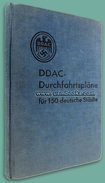
DDAC-Durchfahrtspläne für 150 deutsche Städte is a 4-¼ x 7 inch, blue linen hardcover book containing color maps of 150 cities in Nazi Germany. While it is not dated, we presume it was published by the Der Deutsche Automobil-Club (DDAC or The German Automobile Club) in or just before 1937, definately before the sptinh 1938 Anschluss, the reunification of Austria and Nazi Germany.
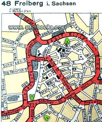
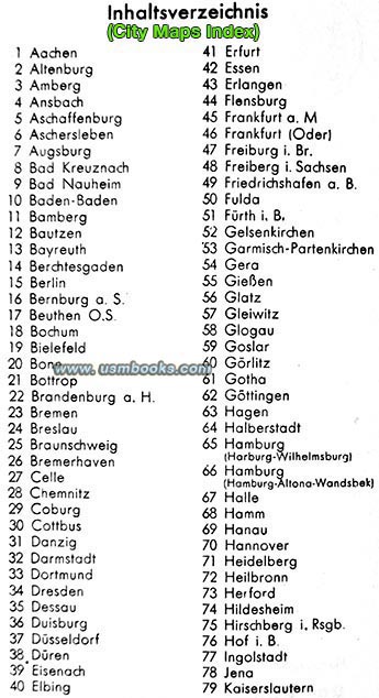
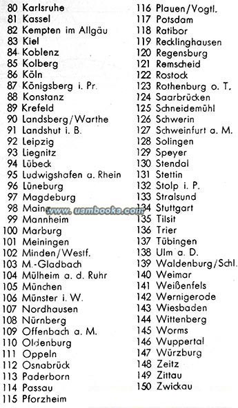
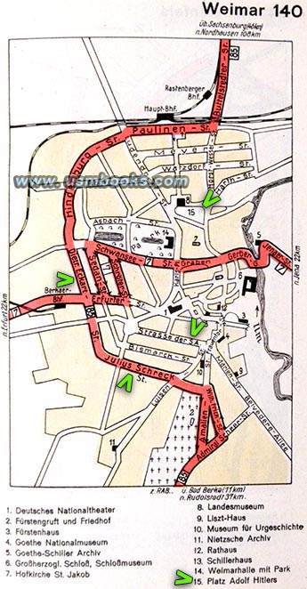
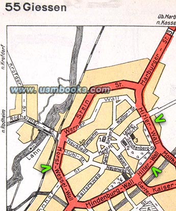
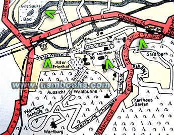
The cities featured are all in alphabetical order starting with Aachen and ending with Zwickau. Street names include Adolf Hitler Ring and Platz der SA in Freiberg, Horst Wessel Wall and Hitler Wall in Giessen, Dietrich Eckart Strasse and Julius Schreck Strasse in Weimar, Adolf Hitler Platz in Nuremberg, and Adolf Hitler Park in Plauen.
Some cities are shown on larger double-page spreads and multi-panel fold-out maps (Berlin, Duisburg, Düsseldorf, Cologne, and Königsberg).
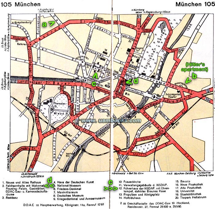
It is very interesting to see the special sights pointed out under each color map. Historic churches, war monuments, museums (including the Zeppelin Museum in Friedrichshafen), Nazi Party buildings in Munich (and the Hofbräuhaus), the Reichschancellery and Hermann Göring's Air Ministry in Berlin (the Kroll Opera is noted for being the place where Parliament convenes as the Reichstag building had burned down), but also the grave of Dietrich Eckart in Berchtesgaden and Horst Wessel in Berlin! DDAC offices in larger cities are also marked, as well as roads connecting to the Reichsautobahn.
It is very interesting to see the special sights pointed out under each color map. Historic churches, war monuments, museums (including the Zeppelin Museum in Friedrichshafen), Nazi Party buildings in Munich (and the Hofbräuhaus), the Reichschancellery and Hermann Göring's Air Ministry in Berlin (the Kroll Opera is noted for being the place where Parliament convenes as the Reichstag building had burned down), but also the grave of Dietrich Eckart in Berchtesgaden and Horst Wessel in Berlin! DDAC offices in larger cities are also marked, as well as roads connecting to the Reichsautobahn.
Below, sights pointed out on the fold-out map of Reichshauptstadt Berlin - Hitler's Reichschancellery, Hermann Göring's Reichsluftfahrtministerium, the Reichstag building, Deutschlandhalle, Sportpalast, etc.

Very nice used condition, no odor. It is interesting to google street maps of these same towns and cities now to see what became of streets like Adolf Hitler Strasse or Hermann Göring Strasse once World War II ended!
Have a look at other original Nazi maps (civilian and military) for sale on USMBOOKS.com. We are happy to combine shipping to save you money!
USM book #997 |
| • IF you prefer faster and safer Priority Mail shipping with USPS Tracking add $7.75. |
| • IF you wish to purchase highly recommended, but optional insurance, add $3.50. |
| • We will be happy to ship abroad at additional cost. Please inquire. |
ORIGINAL DDAC MAP BOOK OF CITIES IN NAZI GERMANY
DDAC COLOR MAPS OF 150 CITIES IN ADOLF HITLER'S GREATER GERMANY

